Cartography
105
Das Rheinland von Basel bis Rotterdam : nebst denen zunächstliegenden Städten, Strassen und Eisenbahnen
1860

Plano topografico que comprende las vertientes del Arroyo Ycabaqua, las del Rio Negro y la cresta que divide aguas al Yacuy y al Uruguay hasta la Sierra de los Tapes o Montegrande
1780

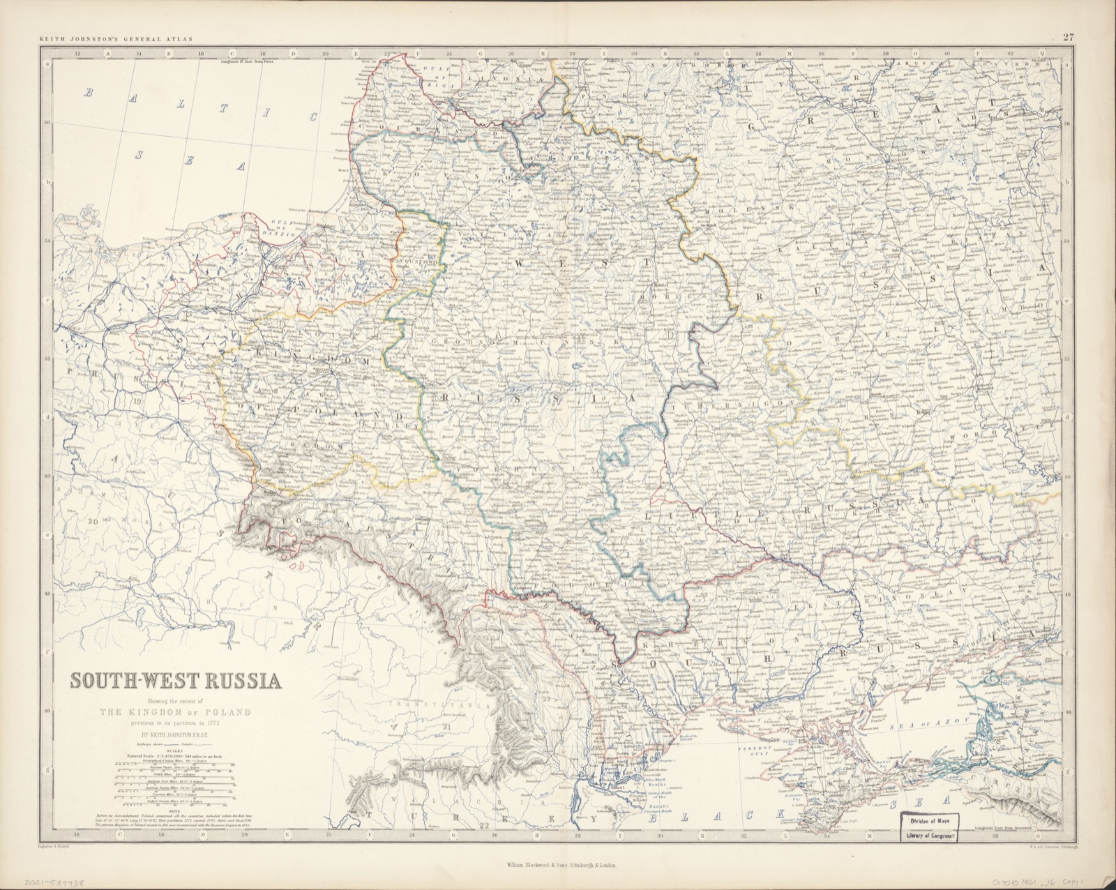
South-west Russia : showing the extent of the Kingdom of Poland, previous to its partition in 1772
1861


Mappe-monde, ou carte générale de la terre : divisée en deux hémisphéres suivant la projéction la plus commune ou tous les points principaux sont placez sur les observations de mesrs. de l'Academie roïale des sciences
1754
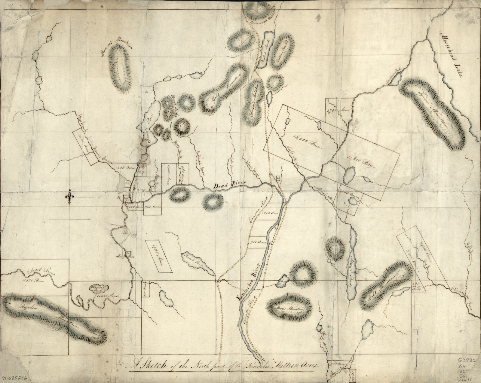
A sketch of the north part of the Kennebec Million Acres
1827


Mitchell's Dissected map of the Middle States
1854


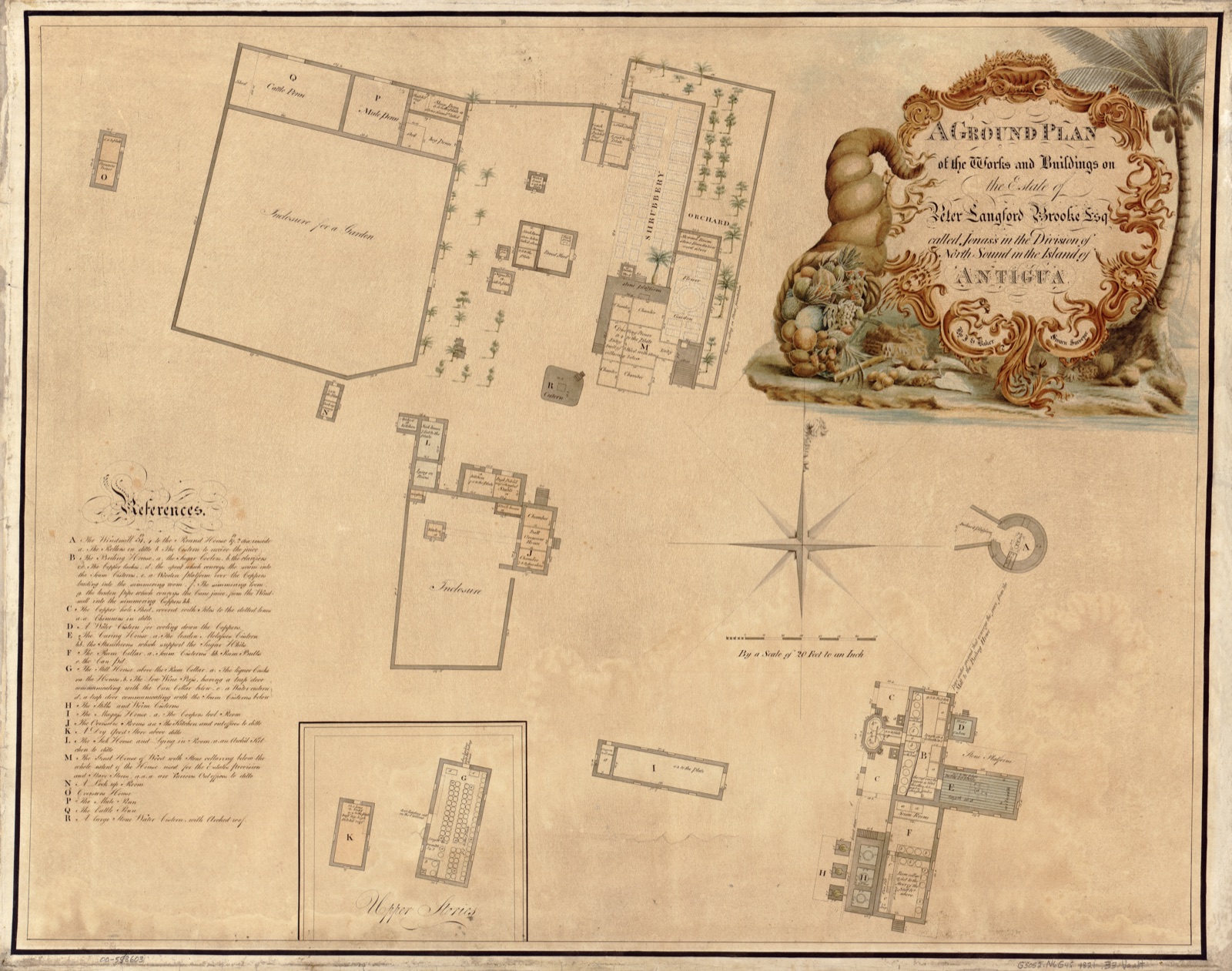
A ground plan of the works and buildings on the estate of Peter Langford Brooke, Esq., called Jonas's in the division of North Sound in the island of Antigua
1821

Map of Anacostia River in the District of Columbia and Maryland
1891


This plan of the harbour, town, and forts of Porto Bello (taken by Edward Vernon, esqr. vice admiral of the Blue on the 22d of November 1739 with six men of war only)
1740
![[Map and views illustrating Sir Francis Drake's West Indian voyage, 1585-6]](/images/loc-2007626708.jpg?v=377399ac41910b60)
[Map and views illustrating Sir Francis Drake's West Indian voyage, 1585-6]
158509 d158607
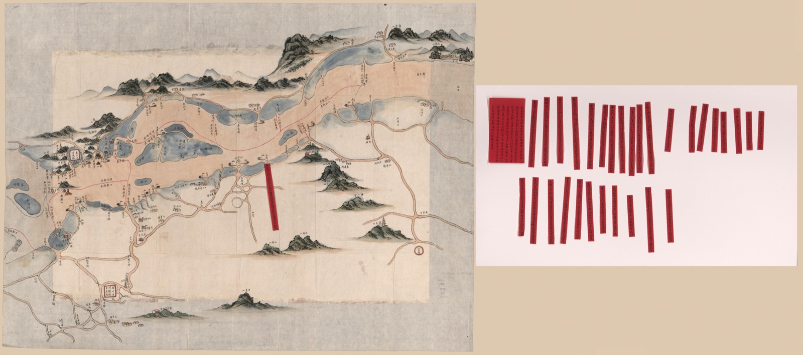
Changjiang shui shi Guazhou zhen biao zhong ying jiang xun quan tu
1864
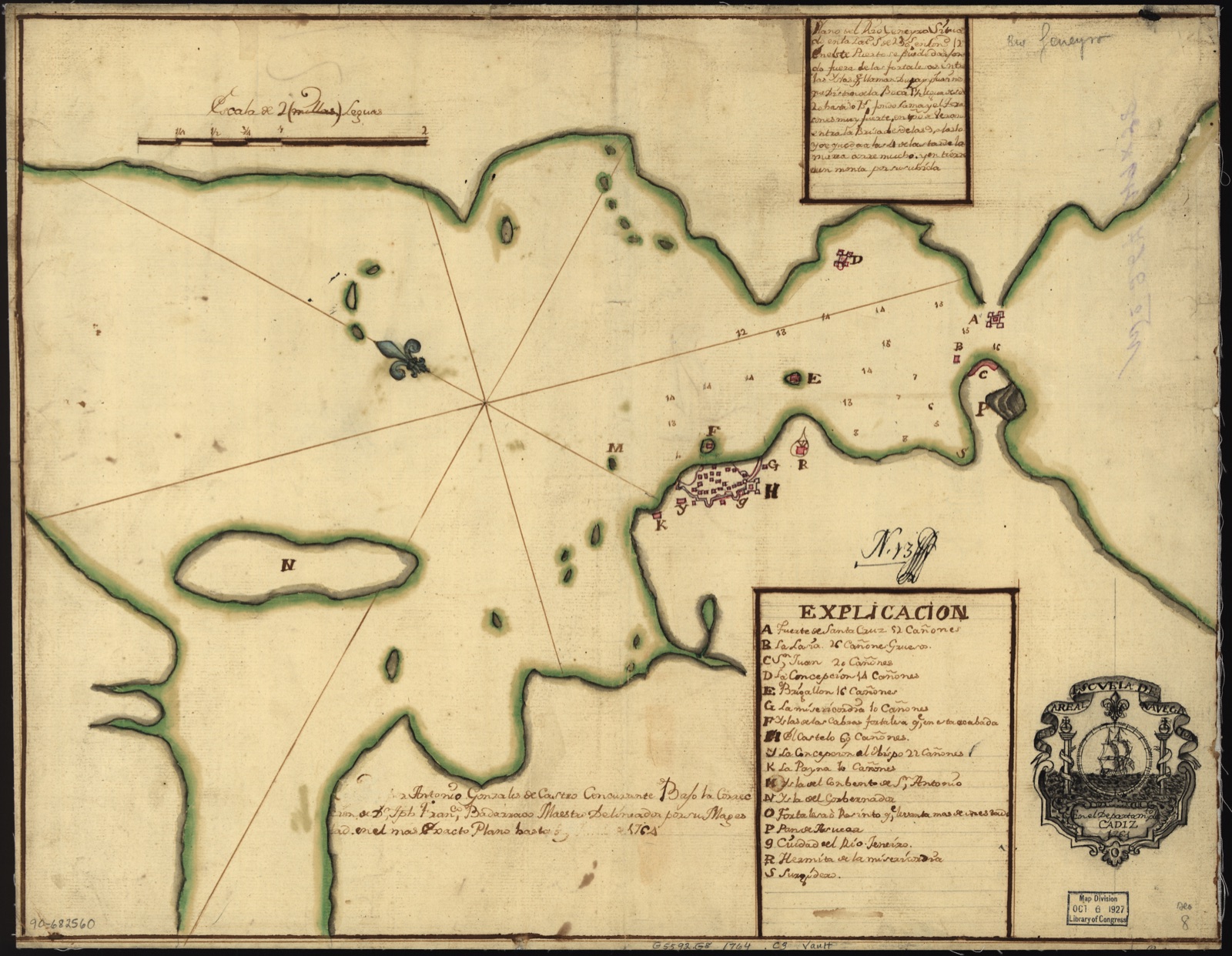
Plano del Rio Geneyro situado en la latd. S de 23 gs. en longd. 12 en el ste pureto se puede darfon do fuera de las fortale as entre las yslas
1764
